|
Info on the map - legend |
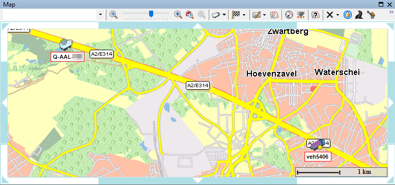
Vehicles / Trailers |
Truck map data - Traffic signs
|
The displayed icons for the assigned vehicles / trailers can be configured in Settings > Management > Identification vehicle / Identification trailer.
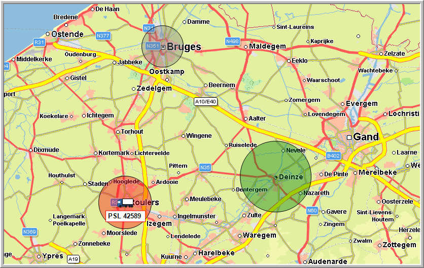
On the map, a GeoFencing object is visualized as a circle around a company POI or an address. Consult GeoFencing for more info.
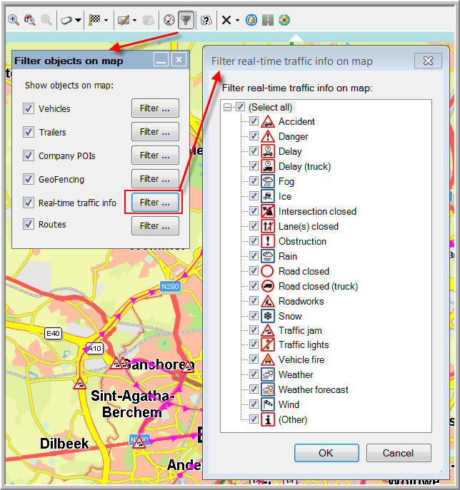
Consult Traffic info for more info on icons related to traffic.
Consult Truck map data for more info on specific traffic signs.
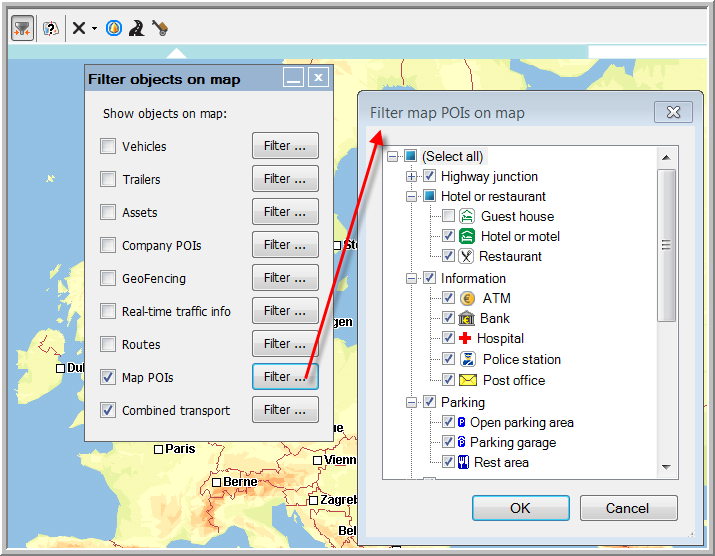
Consult Map > Filter objects on map > Map POIs to check which POIs are available on the map.
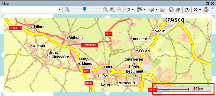
The scale at the bottom right of the map allows a more accurate estimation of distances on the map.
The smallest scale is 1.5 cm = 1000 km, the largest scale is 1 cm = 12.5 m.
|
|
Motorway |
|
|
Trunk road / Main road |
|
|
District road |
|
|
Residential street |
|
|
Trail |
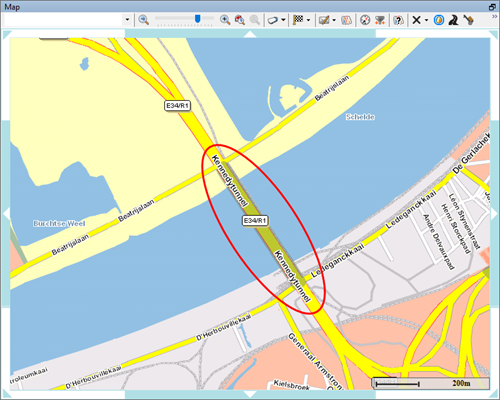
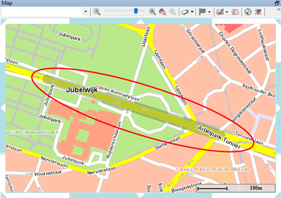
Tunnels are displayed with a darker area on the road.
Back - Map - General overview


