|
MAP |
New map data
The map data have been updated to the latest version of PTV map data.
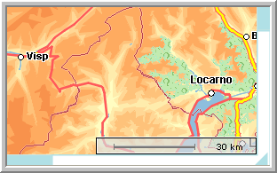
Scale
When you zoom in on the map, a scale is made available.
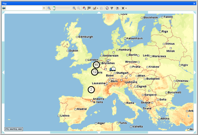
POIs shown on the map
You can visualize the POIs that are created in TOS. The POIs are either indicated by a general icon or by an icon assigned to the category to which the POI belongs.
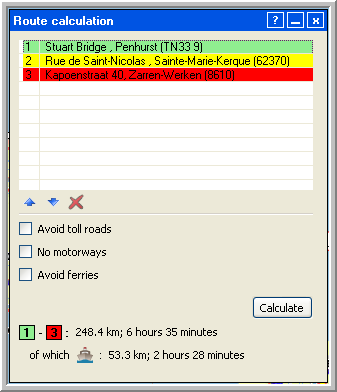
Kilometres spent on ferry are taken into account
When a truck needs to travel a certain distance over the sea, the kilometres spent on the ferry will also be taken into account in the route calculation.
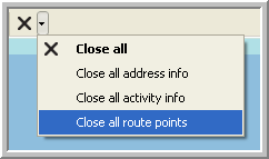
Delete route info
Now it is not only possible to close all address and activity info boxes at once but also all route info boxes.